Technology
Google Maps’ new directions point you to the ‘cleanest’ route
Google Maps is sprucing up its app, and one of the new looks is an eco-friendly route option. And no, that doesn’t just mean biking or e-scooting somewhere.
Taking into consideration road conditions and topography along with traffic and congestion, Google Maps will offer an eco-route with a lower carbon emission. Sometimes the most fuel-efficient way will be the fastest or comparable, so Google Maps will default to that option. But if the eco-friendly way is a bit slower, you’ll be able to see how much more you’d be polluting to shave a few minutes off your journey.
Google Maps partnered with the National Renewable Energy Laboratory to help make the calculations with a new mapping model. It estimates carbon emissions for the typical vehicle in a region on different routes, taking into account things like steep hills or heavy traffic. The eco-routes will be on iOS and Android phones later this year starting in the U.S.
As part of a “spring cleaning” of sorts, the Google Maps app will also look a bit different. Instead of having to toggle between tabs when searching for directions, users will be able to see all the different modes (walking, biking, driving, public transit, ride-sharing, and others) on one page.
You can also star your preferred mode so that, say, biking or walking directions will come up first. Not everyone wants or needs driving directions as the default mode, after all.
Some other new looks on the app: a weather and air quality layer. Instead of looking up the forecast for a destination, that information will be right on the app. AQI (air quality index) listings will be available first in the U.S., Australia, and India, in the coming months.
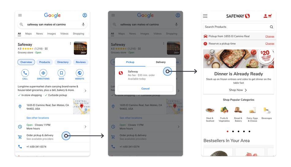
In this pandemic world, Google saw searches in Maps increase for food ordering and pickups. The search “curbside pickup” was up 9,000 percent from March 2020. So Google is streamlining grocery orders with Instacart and Albertsons chains into the Maps app directly. You can select pickup or delivery windows and then start shopping.
Shopping in Google Maps.

In Portland, Oregon, a pilot with Fred Meyer stores will launch this summer to make curbside pickups smoother. Users can notify the store that they’re arriving and which pickup parking spot they’re waiting in — all within the Maps app.
In anticipation of more public indoor activities finally resuming, Google is launching its Live View inside (the outdoor version has been available since 2019) for more users at airports, transit stations, and malls. The mode is available at some U.S. malls already and uses augmented reality to layer arrows and other visual guides over the live camera view. Helpful when you need to get to the food court, three floors below. Remember that?


Danti’s natural language search engine for Earth data soars with $5M in new funding

5 essential gadgets for turning your home into a self-care sanctuary

Haun Ventures is riding the bitcoin high

Hands-on with the Claude AI app: It’s pleasant to use, but janky

Calendly revamps its browser extension as it seeks to do more than schedule meetings

How to unblock porn sites: Greatest VPN for porn in 2024

Midi is building a digital platform for an oft-overlooked area of women’s health

A pro-Palestine protester hit a cop with an empty water jug. Now it’s a viral song.

A pair of Airbnb alums is bringing intelligence and automation to data protection

‘Bridgerton’: Everything you need to remember before Season 3

NASA discovered bacteria that wouldn’t die. Now it’s boosting sunscreen.

API startup Noname Security nears $500M deal to sell itself to Akamai

US think tank Heritage Foundation hit by cyberattack

How to watch ‘Argylle’: When and where is it streaming?

Tesla drops prices, Meta confirms Llama 3 release, and Apple allows emulators in the App Store

Meta to close Threads in Turkey to comply with injunction prohibiting data-sharing with Instagram

Tesla layoffs hit high performers, some departments slashed, sources say

Former top SpaceX exec Tom Ochinero sets up new VC firm, filings reveal

TechCrunch Mobility: Cruise robotaxis return and Ford’s BlueCruise comes under scrutiny

Consumer Financial Protection Bureau fines BloomTech for false claims
Danti’s natural language search engine for Earth data soars with $5M in new funding
5 essential gadgets for turning your home into a self-care sanctuary
Haun Ventures is riding the bitcoin high
Hands-on with the Claude AI app: It’s pleasant to use, but janky
Calendly revamps its browser extension as it seeks to do more than schedule meetings
How to unblock porn sites: Greatest VPN for porn in 2024
Midi is building a digital platform for an oft-overlooked area of women’s health
A pro-Palestine protester hit a cop with an empty water jug. Now it’s a viral song.
A pair of Airbnb alums is bringing intelligence and automation to data protection
‘Bridgerton’: Everything you need to remember before Season 3
-

 Entertainment6 days ago
Summer Movie Preview: From ‘Alien’ and ‘Furiosa’ to ‘Deadpool and Wolverine’
-

 Entertainment5 days ago
What’s on the far side of the moon? Not darkness.
-

 Business6 days ago
Thoma Bravo to take UK cybersecurity company Darktrace private in $5B deal
-

 Business6 days ago
How Rubrik’s IPO paid off big for Greylock VC Asheem Chandna
-

 Business5 days ago
TikTok faces a ban in the US, Tesla profits drop and healthcare data leaks
-

 Business4 days ago
London’s first defense tech hackathon brings Ukraine war closer to the city’s startups
-

 Business7 days ago
Zomato’s quick commerce unit Blinkit eclipses core food business in value, says Goldman Sachs
-

 Entertainment7 days ago
Monsta X’s I.M on making music, gaming, and being called ‘zaddy’